940 Samuel Dunn (1723-1794) - Four maps

Next Back to list Previous

940 Samuel Dunn (1723-1794) - Four maps

Next Back to list Previous

This lot is closed, biddings are not allowed.

LOT DATA

Starting bidPHP30,000
Total bids0

Stay logged in
 
Stay logged in
https://cdn.aeman.nl/AE_LeonExchange/image/38eb5e4f-c06b-4052-9aa1-9f28dbb41ad8/jpg

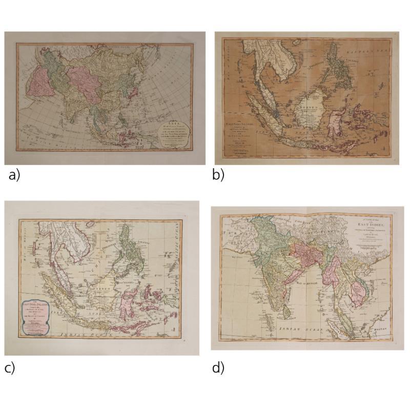
a) Asia Divided Into Its Principal States and Regions with All Islands and the

New Discoveries Made by the English and the Russians in the Eastern Parts

1789

hand colored (good condition)

18 1/2” x 22 1/2” (47 cm x 59 cm)

b) The East India Islands Comprehending the Isles of Sunda, The Moluccas, and the Philippine Islands

1789

hand colored (good condition)

18 1/2” x 22 3/4” (47 cm x 58 cm)

c) The East India Islands, Comprehending the Isles of Sunda the Moluccas and Philippine Islands

d) A Complete Map of the East Indies, Exhibiting the English Territorial Acquisitions

1786

hand-coloured

18 1/2” x 22 3/4” (47 cm x 58 cm)